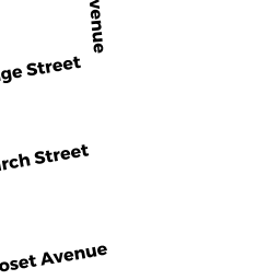
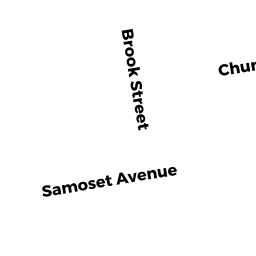
65 SAMOSET AVE
Owner Information
BREN ETHAN A & DIANA L
65 SAMOSET AVE
MANSFIELD, MA 02048


Property Details
65 SAMOSET AVE is classified as a Two-Family Residential (Two family).
The primary structure on this property was built in 1900. There are 3,269ft2 of built area within this property. There is 1,690ft2 of residential/living space within this property. This property is listed as having 8 rooms.
65 SAMOSET AVE is valued at $453,600. The land is valued at $200,600 and the structures are valued at $249,300. There is an additional valuation of $3,700 on this property.
The most recent deed for 65 SAMOSET AVE is recorded at the local registrar in Book 23039, Page 0169. 65 SAMOSET AVE was last sold on Wednesday, June 15, 2016 for $380,000.
Assessment data from fiscal year 2022.
Flood Data
According to the FEMA National Flood Hazard Layer, this property does not appear to be in a flood zone. It may also be in an area not yet reviewed. Nonetheless, confirm this information prior to taking any action.
To view the flood hazards around this property, create a FEMA "Firmette" Map of the area around 65 SAMOSET AVE.
Broadband Internet Providers
| Provider | Type | Bandwidth (mbps) | |
|---|---|---|---|
| GCI Communication Corp. | Satellite | 0 | 0 |
| Viasat Inc | Satellite | 100 | 3 |
| Verizon New England Inc. | DSL | 15 | 1 |
| Verizon New England Inc. | Fiber | 940 | 880 |
| Comcast | Cable | 1000 | 35 |
| T-Mobile | Fixed Wireless | 25 | 3 |
| VSAT Systems, LLC. | Satellite | 2 | 1 |
| HughesNet | Satellite | 25 | 3 |
Broadband service provider data from December 2020.
Adjacent Properties
- 59 SAMOSET AVE
Single Family Residential owned by KELLY KELLY A - 41 HODGES ST
Two-Family Residential owned by CUSHMAN RICHARD & ROBIN L - SHAWMUT AVE
Undevelopable Residential Land owned by BREN ETHAN A & DIANA L - 50 SHAWMUT AVE
Single Family Residential owned by WALSH MATTHEW S & THAIS A - 71 SAMOSET AVE
Single Family Residential owned by MCTARNAGHAN CHRISTIAN A